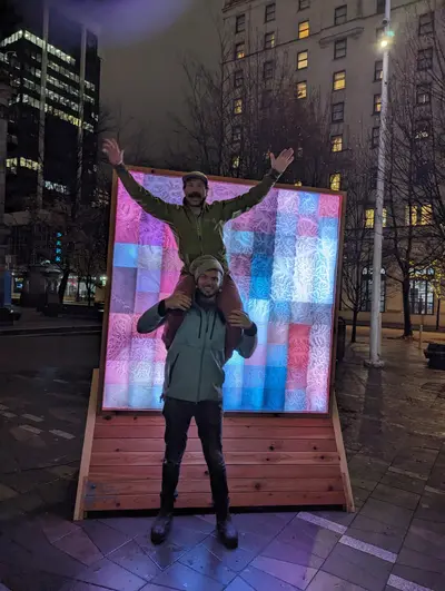
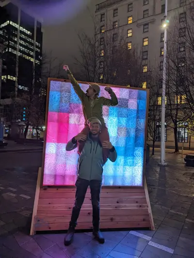
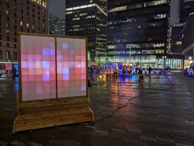
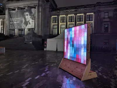
An illuminated topographic terrain of British Columbia—mountains you can touch, lit from within.
The Challenge
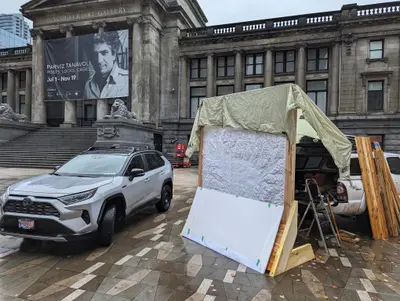
Create a centerpiece installation for Lumiere YVR Festival that captures the dramatic topography of Lower British Columbia: Vancouver, the Sea-to-Sky Corridor, and Vancouver Island. The piece needed to work at festival scale, survive outdoor conditions, and translate geographic data into something visitors would want to walk around for hours.
The Approach
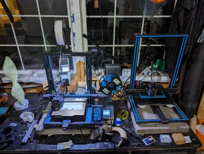
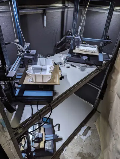
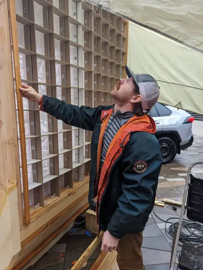
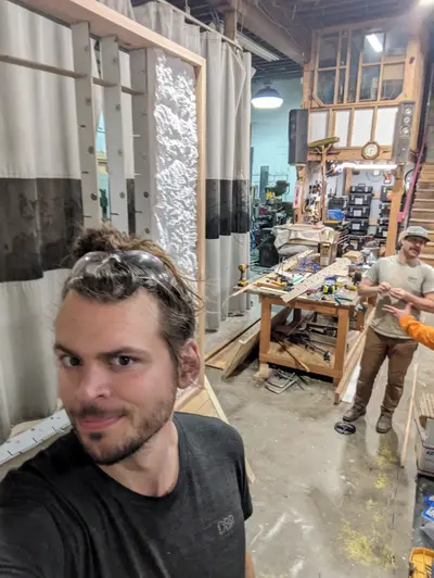
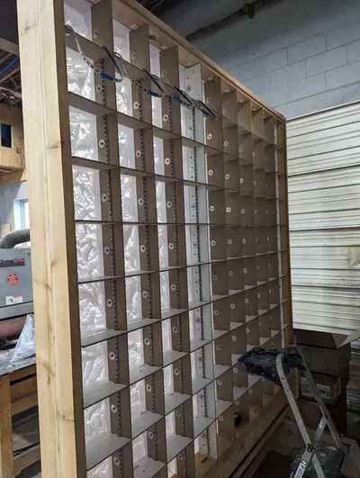
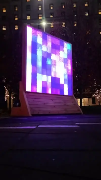
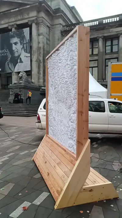
CNC-routed layers of material stacked to create accurate topographic contours. Each layer represents an elevation band, and the spaces between layers house addressable LED strips that illuminate the terrain from within.
The technical challenge was translating GIS elevation data into millable geometry while maintaining visual coherence—too many layers and it becomes noise, too few and you lose the mountain character. The lighting design emphasizes ridgelines and valleys, making the topology readable even from a distance.
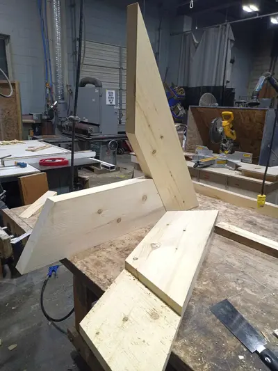
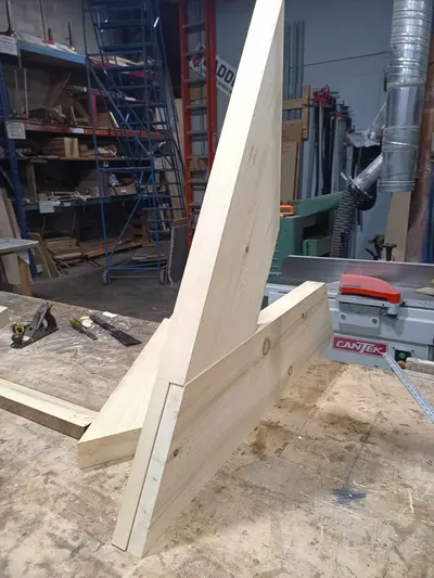
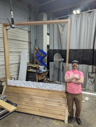
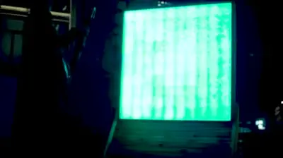
Construction required precise alignment of multiple layers and weatherproofing for outdoor installation. The control system allows for animated lighting sequences that trace watersheds, highlight specific peaks, or pulse with ambient audio.
Outcome
The installation drew consistent crowds throughout the festival. Visitors spent time tracing familiar mountains with their fingers, identifying neighborhoods, and watching the light sequences reveal drainage patterns they'd never noticed on paper maps. The piece demonstrated that data visualization doesn't have to be screen-based—physical, illuminated representations can be more engaging than any dashboard.